
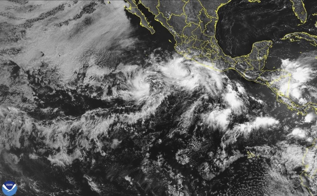
MEXICO CITY (AP) – Tropical Storm Barbara is strengthening off the Pacific coast of Mexico and is expected to potentially reach hurricane status by Monday, according to weather forecasters. As of late Sunday, Barbara was located approximately 235 miles (375 kilometers) west-southwest of Zihuatanejo, a prominent tourist port in Guerrero state. The storm had maximum sustained winds recorded at 65 mph (100 kph) and was progressing west-northwest at a speed of 10 mph (17 kph).
The forecast indicates that Tropical Storm Barbara is likely to remain at sea; however, it poses a risk of heavy rainfall which could result in localized flooding and mudslides along the western coast of Mexico. Rainfall accumulations ranging from 2 to 4 inches (5 to 10 centimeters) are expected across parts of Guerrero, Michoacán, Colima, and Jalisco states through Monday.
Additionally, the U.S. National Hurricane Center has warned that swells impacting portions of the southwestern coast of Mexico over the upcoming days could create perilous surf and rip current conditions. Beachgoers and residents in the affected regions are advised to exercise caution due to the forecasted conditions.
In a related development, another tropical storm named Cosme formed southwest of Barbara's location but is currently not posing any threat to land. As of late Sunday, Tropical Storm Cosme was reported to have maximum sustained winds of 45 mph (75 kph) and might approach hurricane strength on Monday. It was moving northwest at a speed of 9 mph (15 kph) and was situated about 650 miles (1,045 kilometers) south-southwest of the southern tip of Baja California.
With both storms developing in close proximity to the Mexican coast, residents and authorities have been advised to stay updated on the latest weather developments and take necessary precautions to ensure safety in the event of severe weather conditions, including potential flooding and high surf.