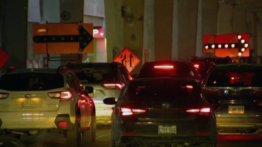
City of Toronto staff are revising their initial recommendations for transit-priority lanes on Bathurst and Dufferin streets, suggesting that both initiatives end at Bloor Street West instead of extending to Eglinton Avenue West. This recommendation is outlined in a report that is set to be presented at the City’s executive committee meeting on July 16. The proposal comes amidst significant feedback from transit advocates who are urging for improved bus services, as well as concerns expressed by local businesses and residents about potential parking losses and increased traffic congestion.
In mid-2024, the Toronto city council had previously directed staff to examine modifications to Bathurst and Dufferin streets prior to the **2026 FIFA World Cup** hosted at **BMO Field**. City officials explained that to ensure the core southern segment is ready in time for the World Cup, and to allow for additional studies on the segments north of Bloor Street West, the implementation plans should be separated.
City staff noted that the area between St. Clair Avenue West and Eglinton Avenue West is currently grappling with significant neighborhood infiltration primarily due to its proximity to **Allen Road**, negatively impacting areas such as Humewood-Cedarvale, Oakwood Village, Forest Hill South, and Forest Hill North. They anticipate that travel patterns will change when **Line 5 Eglinton Crosstown** begins operations and as other transportation reports are conducted.
After the installation of the proposed changes, city staff pledged to provide quarterly updates on various data points over a span of two years. If ultimately approved by the executive committee and city council, the $8 million project is expected to be largely completed by late 2025 or early 2026.
Proposed Changes to Bathurst Street
City staff have proposed the establishment of streetcar-priority lanes stretching between **Bathurst Station**, north of Bloor Street West, and **Lake Shore Boulevard West**, with the exception of the segment between **Dundas Street West** and **Nassau Street**, which is affected by ongoing construction at **Toronto Western Hospital**. The recommendations include implementing no-stopping regulations along the affected stretch and introducing new turning restrictions in specific areas.
According to the report, the **TTC’s 511 Bathurst Streetcar** service currently accommodates over **15,000 riders daily**, with reported average speeds of **9 km/h** during peak morning and afternoon hours. City staff estimate that under the new plan, streetcar travel times could decrease by roughly **13%**, leading to increased reliability, while private vehicle travel times may rise by about two minutes along the corridor. Additionally, this plan will result in the removal of **277 parking spaces** and **21 pay-and-display machines**, with affected spots reportedly utilized only **10 to 39%** of the maximum allowable duration. The city anticipates a loss of **$218,000** in annual revenue due to these changes.
More than **10,000 survey responses** were collected regarding the proposed modifications. Most respondents indicated agreement on the necessity to prioritize public transit and to improve overall reliability and travel times. However, residents and businesses north of Bloor Street West expressed concerns regarding the potential impacts of priority bus lanes, while those south of Bloor raised issues of traffic infiltration and limited on-street parking availability.
Proposed Changes to Dufferin Street
City staff highlighted **Dufferin Street** as one of the slowest and most congested routes within the **TTC** network. The proposal includes designating the north and south curb lanes of Dufferin Street—from Bloor Street West to King Street West—for transit and bicycle use. Additionally, a segment of the southbound center lane, just north of the Dufferin Gate Loop, would exclusively serve transit. The proposal also entails implementing new turn restrictions and adjusting traffic signal timings accordingly.
Currently, more than **40,000 passengers** utilize the **29 Dufferin** and **929 Dufferin Express** buses each day, with average speeds during peak hours reported at **14 km/h**. Buses currently take **65% longer** for similar distances compared to cars. Should the new configuration be adopted, staff expect a **14% improvement** in bus reliability with a potential **29% reduction** in travel times during peak hours, equating to approximately **five minutes** saved per trip. However, vehicle drivers may experience a delay ranging from one to two minutes on the same route.
The proposed changes would involve removing **75 parking spaces** and **10 pay-and-display machines**, as well as eliminating **128 permit parking spaces** between Dundas Street West and Peel. Officials have noted that these parking spots were seldom used, operating between **24 to 44%** of the maximum allowable time. The municipality is projected to incur an approximate annual revenue loss of **$92,000**. Areas and timings for stopping and loading zones for businesses will also be updated based on the recommendations.
A total of **5,800 survey responses** concerning the proposed changes were collected, with strong support expressed for prioritizing transit along Dufferin Street. Residents, however, have voiced concerns regarding the necessity for deliveries, drop-off and pick-up logistics, as well as the availability of parking on adjacent streets, fearing potential traffic upticks and heightened demand for on-street parking.


