
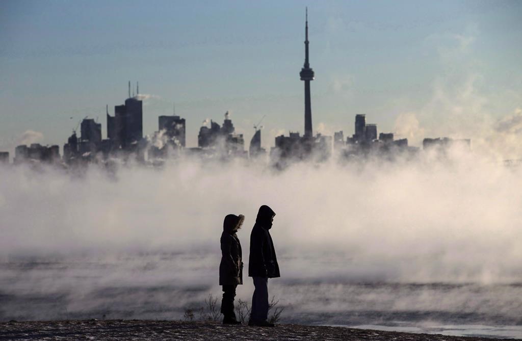
As Toronto grapples with the aftermath of a significant storm, Environment Canada has issued a yellow cold warning due to the extreme cold conditions expected overnight. Wind chill values are forecasted to plummet to nearly -25°C, accompanied by gusty winds exceeding 50 kilometers per hour. These conditions are anticipated to persist overnight into Tuesday morning, exacerbating the bitter cold.
The gusty winds are likely to generate blowing snow, making travel and outdoor activities increasingly challenging. CityNews Meteorologist Jessie Uppal has indicated that Toronto will experience intermittent lake effect snow on Tuesday afternoon. This cold weather pattern is set to continue throughout the week, with Arctic air making multiple appearances as January draws to a close. Given that the average daytime highs for this time of year hover around -2°C, the city will instead be facing actual highs between -8°C and -10°C, with the wind chill making it feel even colder.
In light of the extreme temperatures, warming centres remain operational throughout Toronto, available 24 hours a day, seven days a week. Residents seeking shelter do not need prior authorization from Central Intake to access these facilities. Should any warming centre reach full capacity, city officials are prepared to assist in transporting individuals to another centre that can accommodate them.
Extended Weather Forecast for Toronto
Wednesday: Expect a high of -9°C and a low of -14°C, with a mix of sun and cloud, alongside a 40 percent chance of flurries.
Thursday: The forecast calls for a high of -11°C and a low of -20°C, featuring a mix of sun and cloud, along with a 40 percent chance of snow flurries.
Friday: Anticipate a high of -10°C and a low of -15°C, with a mix of sun and cloud projected for the day.
For those seeking a more comprehensive outlook, additional details on the extended forecast for Toronto can be found by signing up for the CityNews Weather Guarantee.