
WASHINGTON (AP) – A significant winter weather event is forecasted to impact much of the United States later this week, as warm Arctic waters and cold continental air combine to stretch the polar vortex. This situation is expected to lead to painful subzero temperatures, heavy snowfall, and ice accumulation, with some regions experiencing conditions comparable to those of a major hurricane.
Meteorologists indicate that this winter storm will affect the eastern two-thirds of the country, with severe weather anticipated from New Mexico to New England and extending into the Deep South. Approximately 230 million people are at risk of experiencing temperatures as low as 20 degrees Fahrenheit (-7 degrees Celsius) or colder, while around 150 million are likely to face snowfall and ice, impacting many citizens with both weather phenomena.
Ryan Maue, a former National Oceanic and Atmospheric Administration chief scientist, remarked that many people might be underestimating the severity of the impending winter conditions. The polar vortex, a mass of frigid air typically confined to northern Canada and Alaska, is being elongated by atmospheric waves associated with relatively ice-free regions of the Arctic and snow-covered Siberia. This interplay between frigid temperatures and moisture from California and the Gulf of Mexico is likely to yield significant ice and snow in many areas.
The origins of this weather system trace back to the warming Arctic, where atypically high temperatures contribute additional energy to the polar vortex, pushing cold air southward. Maue explained, “The atmosphere is aligned perfectly that the pattern is locked into this warm Arctic, cold continent.” This phenomenon is not limited to North America; Eastern Europe and Siberia are also experiencing extremely low temperatures, as the hemisphere endures severe cold.
Judah Cohen, a winter weather expert at MIT, noted that the conditions for a stretched polar vortex began forming as early as October 2025. He remarked that heavy snowfall in Siberia contributed to the altered air pattern, which typically remains mostly circular. Cohen co-authored a study in July 2025 linking an increasing number of stretched polar vortex events to drastic winter weather across the central and eastern U.S. He emphasized that low sea ice levels in the Barents and Kara Seas play a critical role in establishing conditions that lead to cold bursts in the U.S.
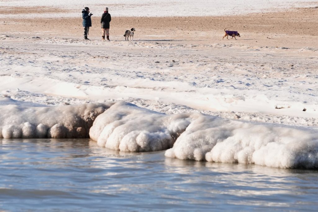
As of now, Arctic sea ice is at a record low extent for this time of year, according to the National Snow and Ice Data Center. The center of the stretched polar vortex is expected to occur above Duluth, Minnesota, by Friday morning, resulting in potentially “long-lasting brutal cold” across the nation. Expected temperatures in the North and Midwest may plummet to between minus 25 to 30 degrees Fahrenheit (minus 32 to minus 34 degrees Celsius). The average temperature for the contiguous United States is predicted to hover around 11 or 12 degrees Fahrenheit (minus 12 to minus 11 degrees Celsius) during the weekend.
According to the National Weather Service’s meteorologist Zack Taylor, regions east of the Rockies will primarily experience the bitter cold, snow, or ice. Dangerous freezing rain is anticipated to affect areas from the southern plains through the mid-South and into the Carolinas. Taylor cautioned that significant ice accumulation could lead to widespread power outages and severe damage to trees.
In addition to ice, substantial snowfall may occur in various locations, particularly in the Ozarks, Tennessee and Ohio Valleys, and across the mid-Atlantic region. Weather experts note that the potential exists for two significant blizzards to strike the mid-Atlantic area surrounding the nation’s capital within the next two weeks, further exacerbating the winter challenges faced by millions of Americans.