
Severe thunderstorm watches and earlier tornado warnings that were in effect as a cold front passed through the Greater Toronto Area have been lifted. Environment and Climate Change Canada issued a statement on Saturday morning that confirmed the removal of severe thunderstorm watches for Toronto and surrounding regions by 4 p.m.
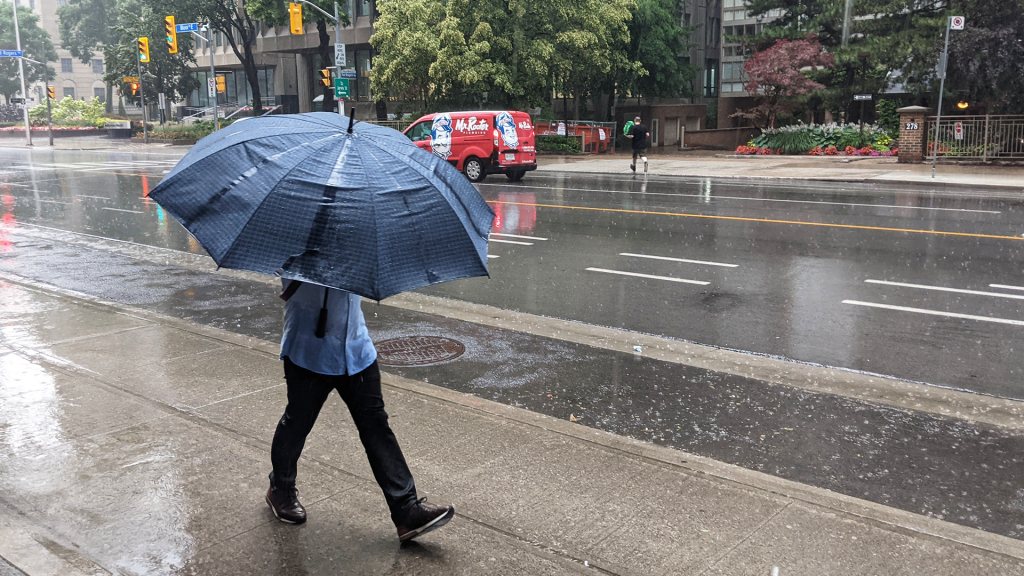
The cold front, which had been located over Michigan earlier that day, was anticipated to bring with it thunderstorms, rain, hail, and wind gusts reaching up to 110 km/h. Forecasters indicated that hail might vary in size, potentially reaching that of a quarter or a ping-pong ball, and rainfall could accumulate to as much as 40 millimeters.
Officials warned that driving conditions could be hazardous, with the possibility of local utility outages. The statement highlighted that damages to roofs, fences, branches, or soft shelters could occur. Furthermore, heavy rainfall could lead to flash flooding and significantly reduced visibility.
Toronto Police Service shared concerns on social media, reporting instances of flooding on at least one southbound lane of the Don Valley Parkway near Eastern Avenue. Despite some areas, such as Milton and Markham, experiencing power outages in the afternoon, there were no widespread reports of significant damage or extensive flooding.
Although tornado alerts were temporarily issued for regions including Brampton, Mississauga, Oakville, Burlington, Halton Hills, and Milton during lunchtime on Saturday, these alerts were canceled approximately thirty minutes later. The alerts indicated that meteorologists were monitoring severe thunderstorms that could be producing tornadoes, along with damaging winds, large hail, and intense localized rainfall. They emphasized the dangerous nature of the situation and advised individuals to take cover immediately in secure locations like basements or sturdy shelters when such weather approaches.
Additionally, the Toronto and Region Conservation Authority issued warnings regarding local rivers and watersheds, cautioning that water levels could rise above normal levels with stronger and faster flows. For the latest updates on watches and warnings, individuals are advised to check with Environment and Climate Change Canada.
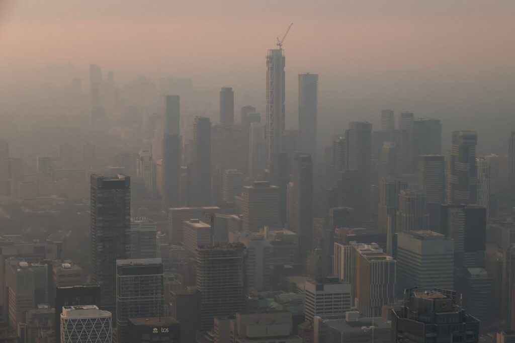
These weather statements come amidst ongoing air quality warnings across the region, attributed to smoke from wildfires in northwestern Ontario.