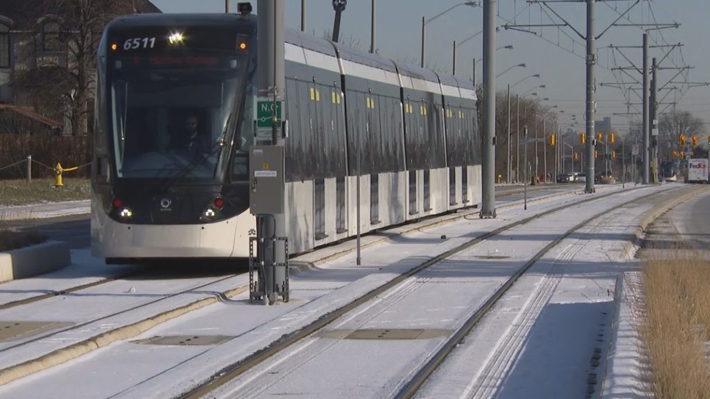

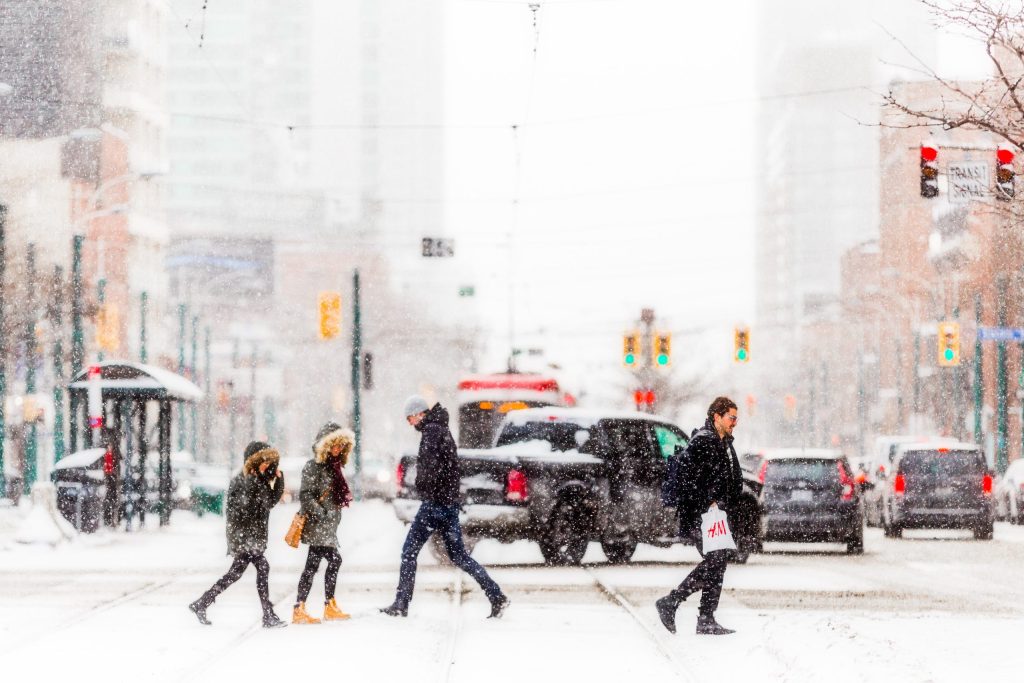
Two Alberta Clipper systems are set to impact the Greater Toronto Area (GTA) over the next few days, potentially resulting in significant snowfall. The first system is forecasted to bring a light dusting of snow on Tuesday, with accumulations of 1 to 3 centimeters expected during the afternoon hours. However, wind speeds are projected to increase, with gusts reaching 50 to 55 kilometers per hour, which may lead to blowing snow and reduced visibility.
In areas such as Kitchener and Cambridge, slightly higher snowfall totals of up to 4 to 5 centimeters are possible. The snow from the first Alberta Clipper will lay the groundwork for a more intense second system, which is scheduled to arrive after midnight on Tuesday night and will continue to affect the region throughout Wednesday.
As the second system takes hold, residents can anticipate a slow and challenging morning commute on Wednesday, as heavy, wet snow will dominate the morning weather. Initially, this system will deliver primarily wet snow, but some rain may mix in along the lake shore during midday. Areas further north and east of Toronto are more likely to experience snowfall without the rain, resulting in heavier snow accumulations.
The expected snowfall for the inner south GTA is an additional 3 to 6 centimeters, while the northern parts of the GTA could see anywhere from 4 to 8 centimeters, with local totals even reaching up to 10 centimeters in certain areas away from the lake.
As the day progresses, colder northwest winds are predicted to arrive on Wednesday night, raising concerns about icy conditions on untreated roads and sidewalks as temperatures plummet to -6 degrees Celsius. Residents should exercise caution as these icy conditions might pose hazards for both drivers and pedestrians.
Looking ahead, there is a possibility of some lake effect snow beginning Thursday morning, particularly to the north of Toronto. This could further complicate travel plans and daily activities in the region.
Following the departure of the two Alberta Clippers, Toronto is bracing for the coldest air of the season this coming weekend. Temperatures are expected to steadily decline throughout the day on Sunday, starting at around -9 degrees Celsius around noon and dropping to a chilling -14 degrees Celsius by the evening, not accounting for the wind chill factor.
What is an Alberta Clipper?
An Alberta Clipper is defined as a fast-moving low-pressure system originating from Alberta, Canada. During the winter months, these systems travel through the Plains and the Great Lakes region, typically bringing light snow, elevated winds, and colder temperatures in their wake.