
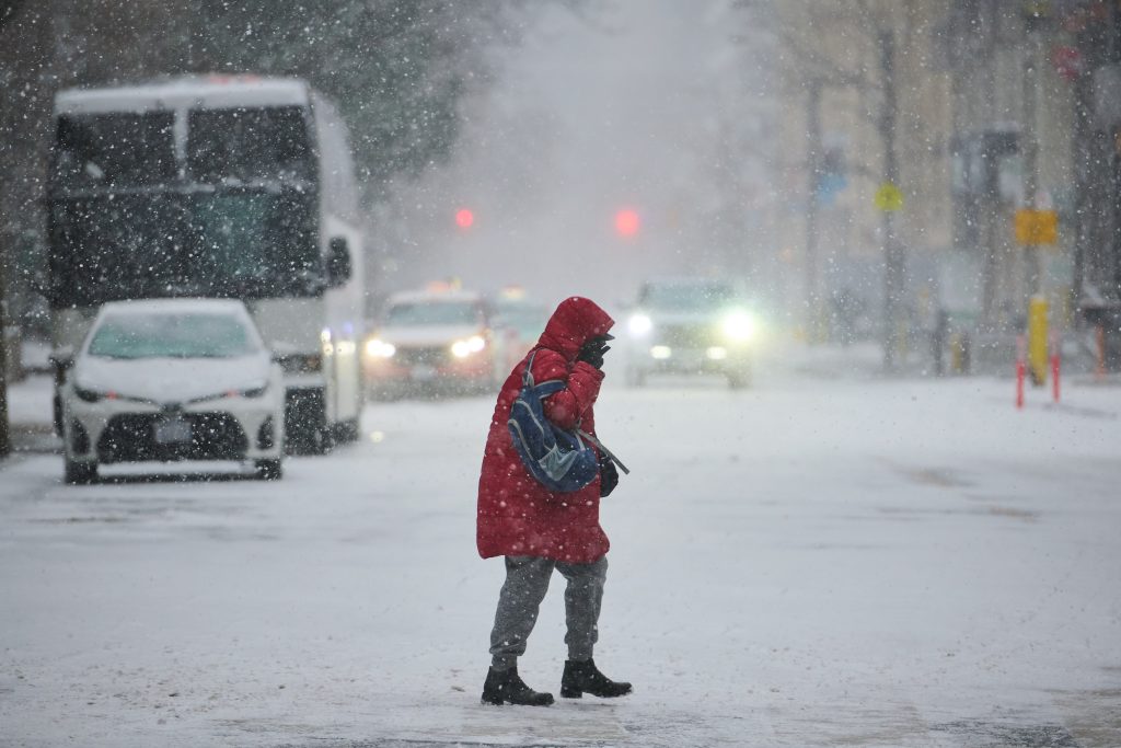
There is a weather warning in effect for the Greater Toronto Area (GTA) this Sunday, particularly affecting regions north of Highway 401 and especially those north of Highway 407. Meteorologist Carl Lam from CityNews predicts the potential for freezing rain that could last through the afternoon into the early evening. This weather event is expected to result in ice accumulation between 5 and 10 millimeters in certain areas.
The buildup of ice poses a significant risk, especially for motorists, as it may create hazardous driving conditions on slippery bridges and overpasses. Regions such as Innisfil, Keswick, Newmarket, Aurora, Minden, Haliburton, Orillia, Uxbridge, and Fenelon Falls will be most affected by this icing threat, which is not expected to dissipate until late Sunday night. At that time, the freezing rain is projected to transition into rain.
On Sunday, temperatures in Toronto are forecasted to reach a high of 2°C. As the freezing rain becomes rain showers, the entire GTA will experience a shift in weather conditions by midnight. Following this tumultuous Sunday, Monday is expected to bring overcast skies, with rain showers that may transition into snow. Winds are projected to sustain between 30 and 50 km/h, with gusts reaching up to 70 km/h.
Carl Lam emphasized that this impending storm is yet another impactful weather event for the GTA. Residents are urged to exercise caution while traveling, particularly in areas where ice accumulation is expected to create dangerous conditions.
For those looking for live updates and further information about the weather conditions, a link to the live weather coverage is available: CLICK HERE TO LISTEN TO LIVE WEATHER COVERAGE!
As this storm system moves through the region, it is crucial for residents to stay informed about the forecast and to prepare for varying weather conditions that could impact their plans and safety.