
MEXICO CITY (AP) — According to new satellite imagery released by NASA, Mexico City is sinking at an alarming rate of nearly 10 inches (about 25 centimeters) per year, making it one of the fastest-subsiding cities in the world. This significant subsidence is attributed to the city's unique geography, as it is built atop an ancient lake bed.
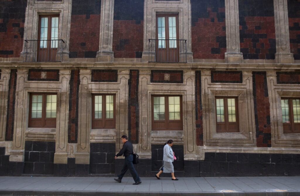
As one of the largest and most densely populated urban areas globally, covering around 3,000 square miles (about 7,800 square kilometers) and housing approximately 22 million residents, Mexico City faces various challenges due to its subsidence. Many parts of the city were once composed of canals, a historical tradition that continues in its rural outskirts.
The primary cause of the rapid subsidence is extensive groundwater extraction for urban development, which has substantially diminished the local aquifer. This depletion has resulted in the gradual sinking of the city for over a century, causing notable tilting in historic structures, including the Metropolitan Cathedral that began construction in 1573. Additionally, the contracting aquifer has contributed to an ongoing water crisis, which is anticipated to worsen in the near future.
Enrique Cabral, a geophysics researcher at the National Autonomous University of Mexico, highlighted the impact of this sinking on Mexico City's critical infrastructure, saying, “It damages part of the critical infrastructure of Mexico City, such as the subway, the drainage system, the water, the potable water system, housing and streets.” He emphasized that this is a significant problem affecting the city's overall functionality.
The NASA report reveals that certain areas are subsiding at a rate of approximately 0.78 inches (2 centimeters) per month, particularly around the main airport and the Angel of Independence monument. Over the past century, the overall subsidence has led to a decline of more than 39 feet (12 meters), making the sinking phenomenon one of the fastest in the world, according to Cabral.
The satellite data, captured by the NISAR satellite, which is a collaboration between NASA and the Indian Space Research Organization, provides real-time monitoring of changes occurring on the Earth's surface. NISAR scientist Paul Rosen noted that this technology offers unique insights into underground conditions and comprehensively documents urban changes, helping to visualize the extent of the problem in Mexico City.
Researchers aim to refine their observations further, potentially allowing for building-by-building assessments in the future. The technology could also be utilized globally to monitor natural disasters, shifts in fault lines, and climate change impacts, particularly in regions like Antarctica. Rosen explained that this information could lead to enhanced alert systems that can inform governments about necessary evacuations during incidents such as volcanic eruptions.
For Mexico City, the introduction of these advanced satellite technologies represents a significant leap forward in comprehensively understanding the subsidence issue and taking steps to mitigate its most severe impacts. While the government historically neglected this challenge apart from stabilizing foundations beneath key monuments, recent water crisis episodes have prompted officials to increase funding for research. The imagery and data generated from the NISAR satellite will be crucial for scientists and city planners as they seek to devise effective solutions to address the sinking city.
Cabral remarked that understanding the situation is the essential first step towards implementing long-term mitigation strategies. The progress made through this technological initiative could pave the way for a better response to the ongoing challenges posed by subsidence in Mexico City.