
Toronto and the Greater Toronto Area (GTA) are bracing for a week dominated by showers and thunderstorms, particularly in the first half of the week. The weather forecast anticipates a shift towards clearer conditions as the long weekend approaches.
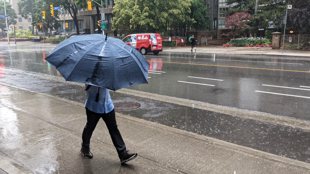
According to CityNews meteorologist Jessie Uppal, the risk of storms is expected to commence on Monday afternoon, with temperatures soaring to 26°C, but the humidity will make it feel much warmer—around 36°C. This increase in temperature, coupled with atmospheric conditions, sets the stage for potential heavy rainfall, thunderstorms, and significant lightning activity.
Uppal warns residents to stay indoors during the stormy conditions expected to roll through the GTA throughout the afternoon and into the early evening. The storm is predicted to bring heavy downpours, on-and-off showers, and a considerable amount of lightning, emphasizing the importance of safety during these weather events.
As night falls, a haze is likely to linger into early Tuesday morning. The forecast for Tuesday indicates a high of 24°C, with intermittent sunny breaks throughout the day. However, the chance of thunderstorms will return in the later afternoon and early evening, keeping residents cautious. The area continues to deal with the repercussions of wildfire smoke, which has led to moderate air quality levels as of Monday afternoon. By Tuesday night, it is expected that the smoke will dissipate, moving out of the GTA towards the eastern parts of Ontario.
Winds will pick up from the north on Tuesday, with gusts predicted to reach up to 50 kilometers per hour. The winds will play a crucial role in altering the current weather dynamics as they shift the humidity that has characterized Monday’s conditions. According to Uppal, this shift in winds will help remove the excessive humidity and clear the air.
On Wednesday, the forecast calls for a continuation of unsettled weather, with the possibility of light showers accompanied by cloud cover and a high temperature of 24°C. These conditions will likely persist as the region transitions into the latter part of the week.
By Thursday, the forecast suggests a significant improvement in weather conditions, with temperatures expected to reach 26°C under sunny skies. This positive trend is anticipated to continue into Friday, with a high of 27°C and ample sunshine, creating a pleasant environment as residents head into the long weekend.
Looking ahead to the extended forecast for the long weekend, Saturday appears to be relatively dry during the day. However, there is a slight chance of showers in the evening and overnight, which may carry over into early Sunday, reminding residents to stay tuned to weather updates as they plan their weekend activities.
Overall, while the beginning of the week poses challenges with thunderstorms and unpredictable weather, there is light at the end of the tunnel as conditions are expected to improve significantly leading into the long weekend.