
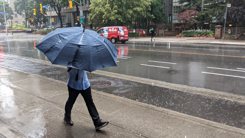
On Saturday, federal meteorologists issued a severe thunderstorm warning for Toronto and the majority of southern Ontario due to an incoming weather system. The warning encompassed areas as far east as Oshawa and as far west as Kitchener, indicating anticipated heavy rainfall and quarter-sized hail in these regions.
The warning also extended to areas north of the Greater Toronto Area (GTA), which included communities such as Lindsay, Newmarket, and Georgina. These areas faced similar threats under the severe thunderstorm alert. Fortunately, the severe thunderstorm warning was lifted just before 7:30 p.m., alleviating some concerns for residents.
In addition to the thunderstorm warning, a red tornado warning was issued for the Waterloo Region, highlighting the severity of the storm conditions. However, this tornado warning has also since concluded. In the wake of these weather events, thousands of power outages were reported across Ontario, causing disruptions for many residents.
Looking ahead, the weather forecast for Sunday indicates a shift towards mostly sunny conditions. Nevertheless, clouds are expected to return by the evening, bringing with them rain showers, particularly in cottage country. These showers may persist into Monday morning, accompanied by isolated thunderstorms, which could lead to further weather instability in the area.
Overall, the impact of the severe weather conditions on Saturday was significant, with both thunderstorm and tornado warnings issued. The early evening lifting of the severe thunderstorm warning marked a welcome respite for those in affected regions. However, the anticipated rain and thunderstorms for Sunday and Monday suggest that the area may not have seen the last of turbulent weather for the time being.