
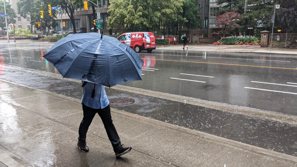
The Greater Toronto Area (GTA) is currently facing a rising threat of severe weather as temperatures continue to climb into Wednesday. As the humidex rises into the 40s across parts of southwestern Ontario, Environment and Climate Change Canada has issued a yellow heat warning that will remain in effect on Wednesday. The combination of high heat and humidity is expected to create conditions ripe for thunderstorms.
A significant low-pressure system is moving across the plains and into the Midwest of the United States, which is poised to exacerbate the already unstable weather conditions in the GTA. This system is expected to unleash two or three rounds of storms throughout the day, fueled by the intense heat and humidity persisting in the region.
The morning commute on Wednesday is predicted to be fraught with challenges, including fog and rain. Visibility may be reduced to less than a kilometer in certain areas due to fog, with an additional 40-60 millimeters of rain forecasted from potentially severe thunderstorms. A yellow fog advisory has been issued for Toronto and the surrounding GTA, urging caution for drivers. As a result, motorists can expect slow driving conditions as water begins to pool on roadways.
As the day progresses into the afternoon and evening, there is a risk of strong, damaging winds gusting between 110 and 130 kilometers per hour. Such wind speeds could lead to downed tree limbs and power lines, increasing the likelihood of power outages across a large portion of southern Ontario. Furthermore, an elevated tornado risk exists in some areas, coupled with the potential for hail measuring 3-5 centimeters in diameter, comparable to that of walnuts or eggs. This kind of hail can inflict considerable damage.
Early morning storms will likely bring heavy downpours and strong winds while they sweep through the area. After an initial break in the rain during the middle of the day, storms are expected to return to Toronto just in time for the evening commute. These heavy, torrential downpours later in the day could result in significant flooding in various parts of the city.
According to the Toronto Regional Conservation Authority, watershed areas have already experienced between 8 and 55 millimeters of rain on Tuesday alone, leading to saturated ground conditions that hinder the ability to absorb additional rainfall. Consequently, all shorelines, rivers, and streams should be regarded as dangerous due to the potential for changing water levels and stronger flows.
In contrast to the current oppressive humidity, a welcome change is in sight as conditions are expected to improve over the Labour Day weekend. Temperatures are anticipated to return to more seasonal levels, with clearing skies. As children prepare to head back to school on Tuesday, no inclement weather is forecasted. Instead, comfortable temperatures in the low 20s are expected, providing a pleasant environment for students.