
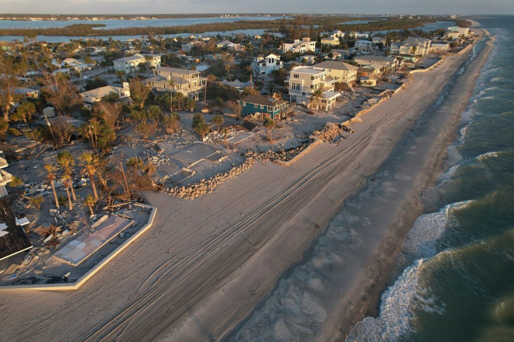
The Atlantic hurricane season is experiencing unprecedented quiet, attributed to the significant impacts of an enormous El Niño that effectively suppresses the development of storms. As of now, no Atlantic hurricanes have emerged this season, which is particularly noteworthy given that this period typically marks the peak of hurricane activity.
Despite the peak season approaching, the National Hurricane Center has reported that there have been only five weak and short-lived tropical storms this year. Notably, on Saturday, 2026 set a record for the longest start to the season without a hurricane—defined as a storm reaching sustained winds of 74 mph (119 kph)—since the era of satellite monitoring began. Prior to the 1950s, a few years displayed similar weather patterns, but the reliability of those records is questionable due to incomplete ocean monitoring at the time.
The analysis by Phil Klotzbach, a hurricane expert from Colorado State University, reveals that overall hurricane activity, measured by factors such as the number and intensity of storms as well as their duration, has reached a record low since 1950. This season, storm activity in the Atlantic is reported to be only 7% of the normal levels expected for this time of year.
Experts emphasize the importance of remaining vigilant, despite the calm. They note that a single storm can have catastrophic effects, regardless of prevailing conditions. For instance, Hurricane Andrew in 1992 began late in the season but caused widespread devastation.
El Niño’s Role in Storm Suppression
Experts are astounded by how unfavorable the current conditions are for the formation of tropical cyclones in the Atlantic. Kristen Corbosiero, an atmospheric science professor at the University at Albany, described the situation as a “triple whammy” of factors that hinder storm development: strong winds that destabilize storms, dry air that deprives them of moisture, and downward winds that suppress formation.
These conditions are classic effects of El Niño, which refers to the natural warming of parts of the equatorial Pacific. This phenomenon alters global weather patterns and drastically affects storm systems, as explained by five experts in the field. Klotzbach emphasizes the severity of the situation, stating that the Atlantic hasn’t seen anything close to a hurricane this season.
One significant impact of El Niño on the Atlantic is the unprecedented level of wind shear, which occurs when opposing winds at different altitudes disrupt storm systems. Corbosiero details that the wind shear experienced in areas where the strongest storms typically form is approximately 45 mph (74 kph) greater than the limits a tropical cyclone can endure, a level described as "unheard of."
Experts stress that the Gulf of Mexico remains one area where wind shear has not been excessively high, indicating potential for the development of strong storms later in the season. However, the presence of dry air, African dust, and a lack of stormy weather "seeds" are all typical signs associated with El Niño that further inhibit storm growth in this region.
Despite the ocean's warm temperatures—record high ocean temperatures have been recorded for over 100 days—El Niño’s influence is strong enough to negate the usual storm-favoring conditions provided by warm waters. Kerry Emanuel, a meteorology professor at the Massachusetts Institute of Technology, notes that the relationship between sea surface temperatures and atmospheric temperatures plays a critical role in hurricane activity. The key factor is the temperature gradient: the greater the difference between air and water temperatures, the lower the likelihood of storm formation.
Interestingly, while the Atlantic waters are warm, they have not warmed as quickly as the overlying atmosphere, which has been accelerated by El Niño. According to Emanuel, this discrepancy suggests that while the current season is quiet, the warm waters could foster increased storm activity next year as El Niño dissipates and ocean temperatures normalize.
Contrasting Activity in the Pacific
While El Niño typically suppresses hurricane activity in the Atlantic, it conversely enhances tropical cyclone activity in the Pacific. Thus far in 2026, storm activity in the eastern Pacific is nearly double the normal levels, with hurricanes lasting longer than average. The central Pacific has also experienced a 40% increase in activity compared to normal. Klotzbach notes that the eastern Pacific has been exceptionally active, with 16 named storms observed thus far, while the central Pacific has seen 20 storms.
The ongoing patterns have also affected Hawaii, which has been impacted twice this year. Experts indicate that El Niño has shifted storm trajectories further westward than typical, contributing to this increased activity.
Forecasters had anticipated a slow Atlantic hurricane season well in advance, based on established knowledge of El Niño’s impacts on storm patterns. However, the current level of inactivity is viewed as remarkably quiet and unexpected.