
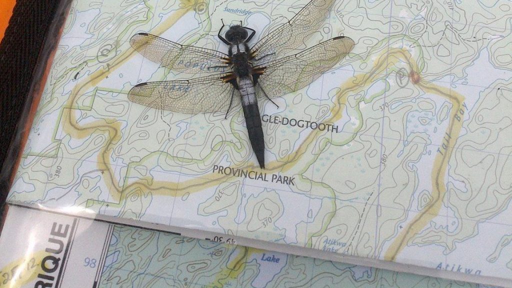
For Jim Duncan, a biologist and enthusiastic canoeist, the traditional approach to planning multi-day wilderness outings—using a paper map—holds a special charm. At 65 years old, Duncan values the tactile experience of spreading a map across his lap or table and gathering his companions to discuss the journey ahead. They actively mark important locations, with "C" denoting planned campsites and "P" indicating portage spots, while lines may signify areas with rapids.
For over 40 years, Duncan has relied on Canada Map Sales, a combined office and store run by the Manitoba government, to acquire maps for his exploratory trips. This establishment provides comprehensive topographic maps of the province, detailed river maps, depth maps crucial for anglers, and land ownership maps. Additionally, waterproof versions of these maps are available for a nominal extra cost.
However, the government store is set to cease public operations at the end of March due to the increasing availability of maps online and the rise of modern navigation technology, like handheld satellite devices, which is gradually replacing printed maps. Manitoba Environment Minister Mike Moyes mentioned that the majority of users are already opting for online maps, and the transition merely reflects the shift toward facilitating easier access to digital resources rather than relying on traditional printed materials.
Despite the shift, some outdoor enthusiasts express their longing for the convenience of obtaining various printed maps in one location. Duncan, while recognizing the utility of digital technology during trips and the precision offered by satellite devices, cautions that electronic tools are prone to malfunctions and battery depletion.
Margerit Roger, an experienced wilderness explorer, echoes Duncan's sentiments about the importance of printed maps, especially regarding safety. She underscores that physical maps not only represent crucial terrain features but also support route planning and cautious navigation. Roger finds printed maps to provide a broader overview of trips compared to their digital counterparts, allowing for easier conversations with fellow paddlers about specific camping spots or portages.
Colin Kyle, a scout leader and president of Paddle Manitoba, has benefitted from customized maps produced by the government store, which allow him to merge several maps into one tailored for his trips. He noted that such personalized services might not be readily available or could come at a higher cost from other vendors.
As part of closing the store, the government plans to redeploy four positions, which involve an estimated cost of $570,000, to other areas within the government. To assist citizens during this transition, the province will publish a list of alternative map vendors on its website. Minister Moyes also emphasized that the government is open to addressing any concerns Manitobans may have regarding accessing different maps or other resources as they adapt to this change.