The United Nations General Assembly recently endorsed a new world map intended to present Africa more accurately, highlighting its larger size in comparison to other continents. This resolution is the result of a concerted campaign led by African nations and advocacy groups, aiming to rectify long-standing inaccuracies in map representations.
On Friday, the assembly passed the resolution with significant support, receiving votes from 164 member states. The motion was primarily sponsored by the African nation of Togo. Notably, the United States was the sole nation to vote against the proposal, while six countries—Serbia, Estonia, Georgia, Lithuania, Moldova, and Ukraine—chose to abstain from the vote.
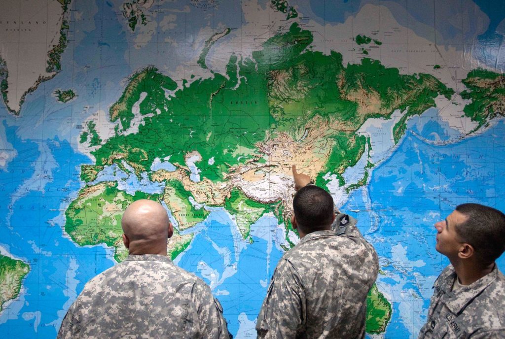
The resolution encourages global governments and institutions to replace the traditional Mercator map, which has been widely used since the 16th century, with the Equal Earth projection. Experts and advocates argue that the Equal Earth map offers a more accurate representation of geographical locations and sizes. The Mercator projection notably distorts the relative sizes of landmasses, rendering both Greenland and Africa as approximately equal in size. In contrast, the Equal Earth projection correctly illustrates Africa as being 14 times larger than Greenland.
Importantly, the resolution does not impose a ban on the Mercator projection, nor does it mandate the adoption of the Equal Earth model; instead, it serves as a recommendation for its utilization, according to the U.N.'s report.
Togo's Foreign Minister, Robert Dussey, emphasized the significance of maps in shaping global understanding, stating, “Maps shape our understanding of the world. They guide education, nourish the imagination, and influence collective perceptions.” This statement highlights the broader implications of geographical representations on cultural perceptions and education.
The advocacy group Africa No Filter, which played a pivotal role in promoting the new map, welcomed the resolution. They expressed a desire for accurate maps to be utilized in educational institutions, newsrooms, and various digital platforms accessed by billions of individuals daily. Their campaign aims to enhance awareness and promote the importance of accurate geographical representation.
Several nations echoed the sentiments surrounding the adoption of the Equal Earth map. French Foreign Minister Jean-Noël Barrot commented that while merely changing the map itself won't alter the world, correcting distorted representations is a meaningful effort towards truth and accuracy.
The historical context of the Mercator map reveals that it was originally designed by Flemish cartographer Gerardus Mercator to assist European navigators at sea. However, its design inherently distorts landmasses, exaggerating the size of regions near the poles—such as North America and Greenland—while simultaneously diminishing the importance and size of continents like Africa and South America.
In contrast, the Equal Earth projection, developed in 2018, adheres to the Earth’s curvature, presenting continents in their actual proportions. Geographers have criticized the traditional Mercator map for its limited applicability, asserting that it is primarily useful for navigation purposes.
Mark Monmonier, a geography professor at Syracuse University, commented, “Outside of that very narrow navigation application, there is no point in using it,” reinforcing the argument for adopting more accurate mapping systems for educational and informational use.
The Associated Press